Tools for Spatial Analysis |
  
|
Tools for Spatial Analysis |
|
With this configuration, you can add spatial analysis tools to query results. Afterwards, these tools can be opened directly from the query result page.
Note: Please note that the spatial analysis tools have to be configured via the Tools section to use them at the query results page. For more details about the configuration of spatial analysis tools in the Tools section, see chapter Spatial Analysis.
Note: Some tools are only applicable to specific geometry types. For example, Create Buffers may be used with point, line and polygon features. In contrast, Aggregate Points and Find HotSpots may only be used with point features.
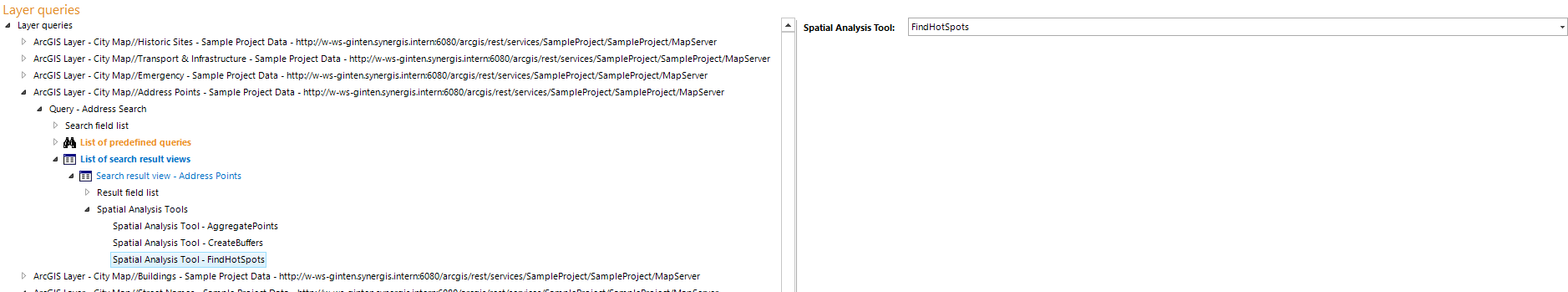
Here you can select the desired spatial analysis tool:
Property |
Description |
Spatial Analysis Tool |
Reference to the specific tool |
Property - integrator client configuration
Note: For details of the usage of spatial analysis tools in the WebOffice core client, see chapter Spatial Analysis.