Current Map

![]()
The current map represents the current extent in the GIS. The current map can be inserted in the CURRENTMAP data band or in other data bands.
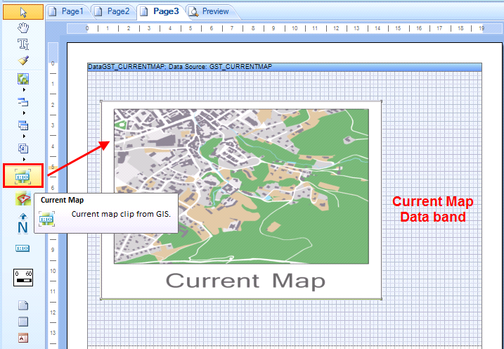
Insert current map

A double click on the inserted map opens the properties of the current map.
In the Current Map properties dialog limited map settings are available:
Name |
Define a name for the current map. This name is used for connecting the north arrow, the scale bar and the scale value to the map. |
|---|---|
Resolution |
Defines the resolution of the map. By default, this is set to 300 dpi. |
Add scale |
The scale can bes inserted as scale value in the map. The text is displayed in the right bottom corner of the map. |